With El Niño Over, What Will This Winter Look Like?
Colorado's El Niño influenced weather ended the drought.
The National Oceanic & Atmospheric Administration has declared this year's El Niño event over. Those warmer than normal water temps in the Pacific Ocean helped add warmth, moisture, and energy for the atmosphere along the earth's Equator. This extra energy alters North American weather patterns and those changes typically mean more rain and snow for Colorado. Boy did it ever!
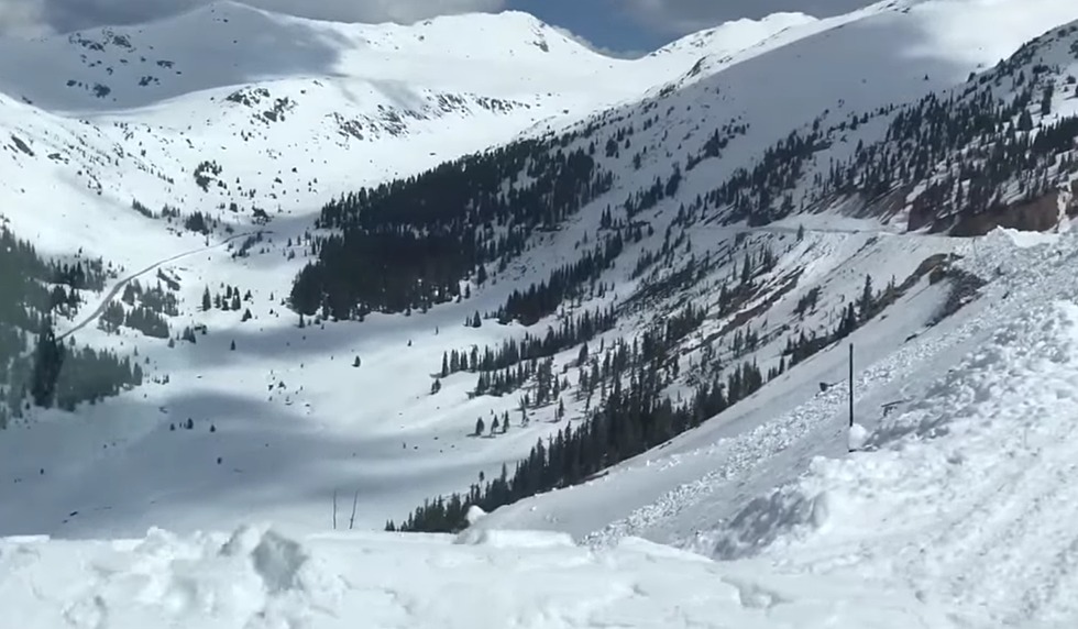
El Niño tends to increase the energy in the storms that travel along the jet stream that move from west to east. This increase blocks cold Canadian air from dipping down into Colorado so temperatures tend to be average during an El Niño winter. As we saw this year, the amount of moisture in Colorado is considerably higher during these El Niño winters. Strong storms tend to move into the southwestern US and that means more snow for Colorado, especially the central and southwest mountain ranges.
With the weather phenomenon no longer an influencer what does it mean for this winter? With summer well in control and temperatures into the 90's, it's far too early to make accurate predictions, however, the folks at the National Weather Service have pulled together a 'basic outlook" for this winter. Here's what to expect.
- Slightly warmer than average with near to above-average snowfall for the northern mountains
- Near to slightly below average snowfall for the central mountains
- Likely a drier than average snow season for the southwest mountains
- Denver and the Eastern Plains are harder to predict, but as of now: Near-average precipitation, fewer big snowfalls, more light to moderate snow
Credit: The Denver Channel
More From 95 Rock


