Colorado’s Drought Map Is Shrinking
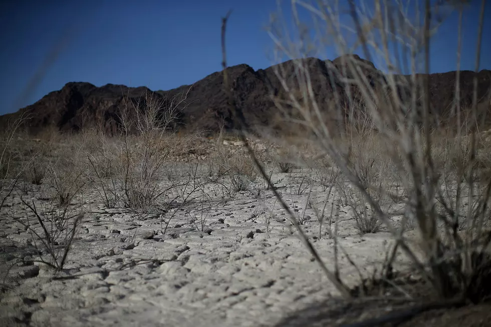
This winters frequent snowfalls are putting an end to the Colorado drought.
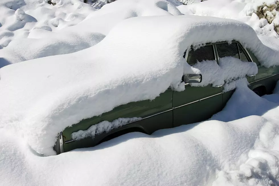
For the first time in a long time, all eight of Colorado's river basins snowpacks are above normal. The Arkansas River basin is currently at 20% above normal. The San Juan and Upper Rio Grande basins are above normal for the first time in months. Finally, the upper Colorado River basin is also above normal at 115%.
For nearly three weeks snow totals in the Colorado ski areas are being measured in feet instead of inches. Every inch is helping end one of the worse droughts in the state's history.
Aspen-Snowmass: 64″
Wolf Creek: 54″
Winter Park 50″
Steamboat: 49″
Vail: 42″
Beaver Creek: 39″
Monarch 36″
Loveland 35″
Keystone: 30″
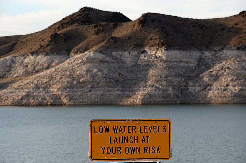
The improvement has been remarkable. Just three months ago nearly half the state of Colorado was still under one of the two worse drought category destinations, that's either 'extreme' or 'exceptional.' As of last week, that number had dropped to just 25%. Check out the United States Drought Monitor map by clicking HERE.
The numbers show the state is close to seeing the light at the end of a very long an dark tunnel that is the southwestern United States drought. It's not over but if the snow continues to fall through late spring as anticipated one day soon we may be able to finally call the drought officially 'over.' That will be a day worthy of a celebration.
Credit: CBS4-Denver
More From 95 Rock


