Colorado’s 10 Most Congested Highways
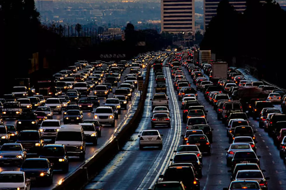
Nobody likes sitting in traffic.
Congested roads and highways cost Colorado drivers $3.5 billion each year in the form of lost time and wasted fuel. According to the TRIP report 'Keep Colorado Mobile,' traffic congestion in Northern Colorado causes 22 annual hours of delay for the average motorist and costs the average Northern Colorado driver $460 annually in lost time and wasted fuel.
Additionally, the report found that nearly half of Colorado’s major locally and state-maintained roads are in poor or mediocre condition, and five percent of locally and state-maintained bridges (20 feet or more in length) are rated poor/structurally deficient.

The report by TRIP, a Washington, DC-based national transportation research nonprofit, suggests that increased investment in transportation improvements at the local, state and federal levels could relieve traffic congestion, improve road, bridge and transit conditions, boost safety and support long-term economic growth in Colorado.
Check out the 10 most congested highways in Colorado below, according to TRIP:
1. SH 470 in Littleton, Lone Tree - From NW of SH 85, (Santa Fe Drive) to Yosemite St.

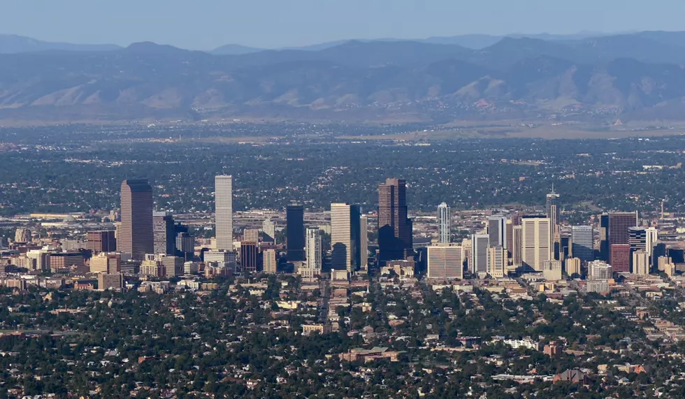
2. I-25 in Denver - From North of SH 30 & SH 285 (Hampden Ave. to Speer Blvd.)

3. SH 83 (Parker Road) in Aurora - From South of Hampden Ave. to Cornell St. and Dartmouth Ave.

4. SH 88 (Arapahoe Road) in Greenwood Village, Aurora - W of I-25 to SH 83 (Parker Road)

5. I-25 in Lone Tree, Denver - From North of Lincoln Ave. to SH 30 and 285 (Hampden Ave.)

6. I-70 in West Vail, Vail - From West of Chaonix Road to Vail Road

7. SH 85 (Santa Fe Drive) in Littleton - From South of Blakeland Dr. to Mineral Ave.

8. SH 24 (Powers Blvd.) in Colorado Springs - From North of Fountain Blvd. to Platte Ave.

9. SH 85 (Santa Fe Drive) in Englewood, Denver - From North of SH 285 (Hampden Ave.) to I-25

10. SH 287 (Federal Blvd.) in Westminster - From South of SH 36 to 104th Ave.

How many times have you sat in traffic on one of these roads?
5 Most Dangerous Intersections in Fort Collins
More From 95 Rock


![Classic PFM: Peyton Poses as Intern for Denver Broncos [Video]](http://townsquare.media/site/49/files/2021/05/Peyton.jpg?w=980&q=75)