Did the Old Spanish Trail Really Go Through Grand Junction?
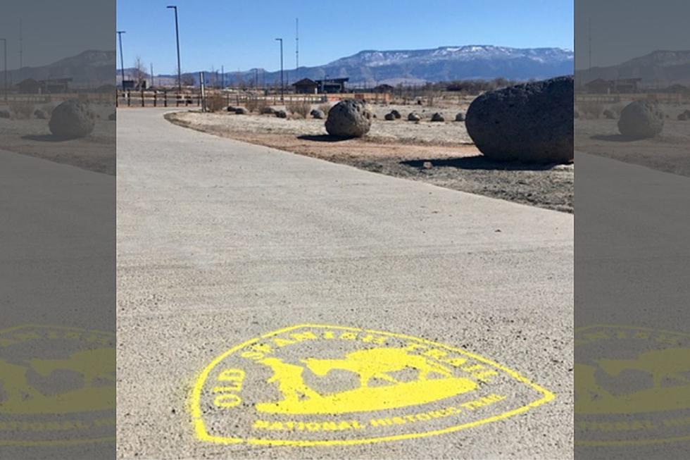
If you've taken a stroll along the Riverfront Trail, you may have noticed these yellow "stamps" on the sidewalk. What are they all about?
Obviously, they say 'Old Spanish Trail National Historic Trail'," but what's the significance to the Riverfront Trail? Did the Old Spanish Trail actually follow the same route as the common-day pathway?

The Old Spanish Trail was a trade route that connected New Mexico with California. It made its way through high mountain passes, deserts, and deep canyons. It was considered one of the most formidable routes in the US.
The trail snaked its way through New Mexico, Colorado, Utah, Nevada, Arizona, and California. There were three main routes, the North Branch, the Northern Route, and the Armijo Route.
Grand Junction was part of the North Branch. This section of the trail ran from Santa Fe, New Mexico, through Taos into Colorado's San Luis Valley. From there, the trail runs through Gunnison along the Gunnison River into Montrose. This led into Delta across the Dominguez/Escalante region into Whitewater.
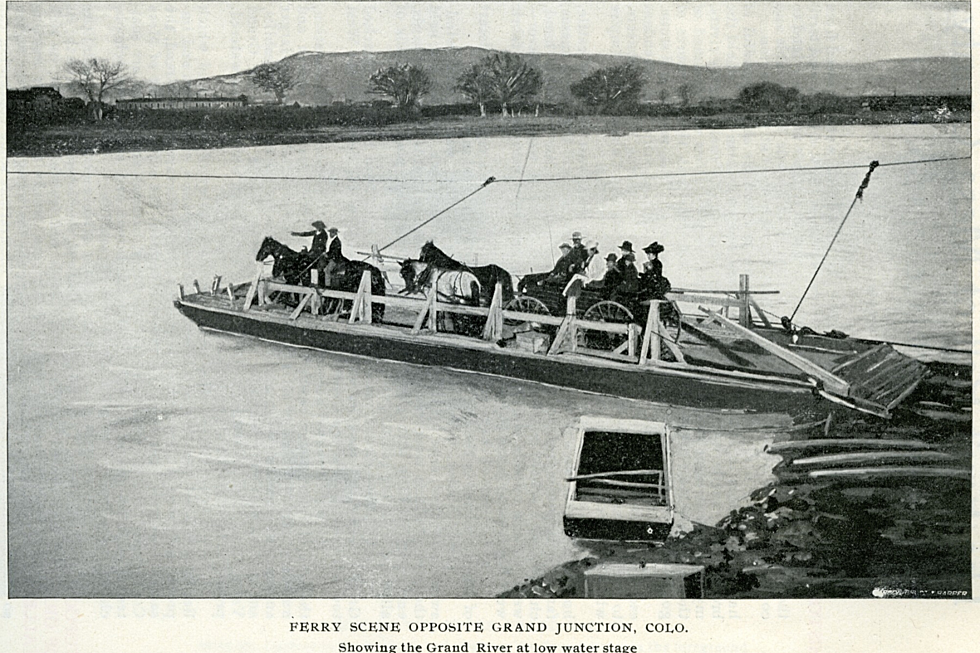
At the confluence of the Gunnison and Colorado Rivers, the trail crossed the river and headed west into Utah.
There's a chance you've hiked some of the Old Spanish Trail down in Whitewater, or south of downtown Grand Junction. Now, we have a marked trail showing this historical trade route as it went through town.
If You Walk the Old Spanish Trail, You May See Views Like This
LOOK: Stunning vintage photos capture the beauty of America's national parks
LOOK: Full List of the Best Places to Live in Colorado
More From 95 Rock


