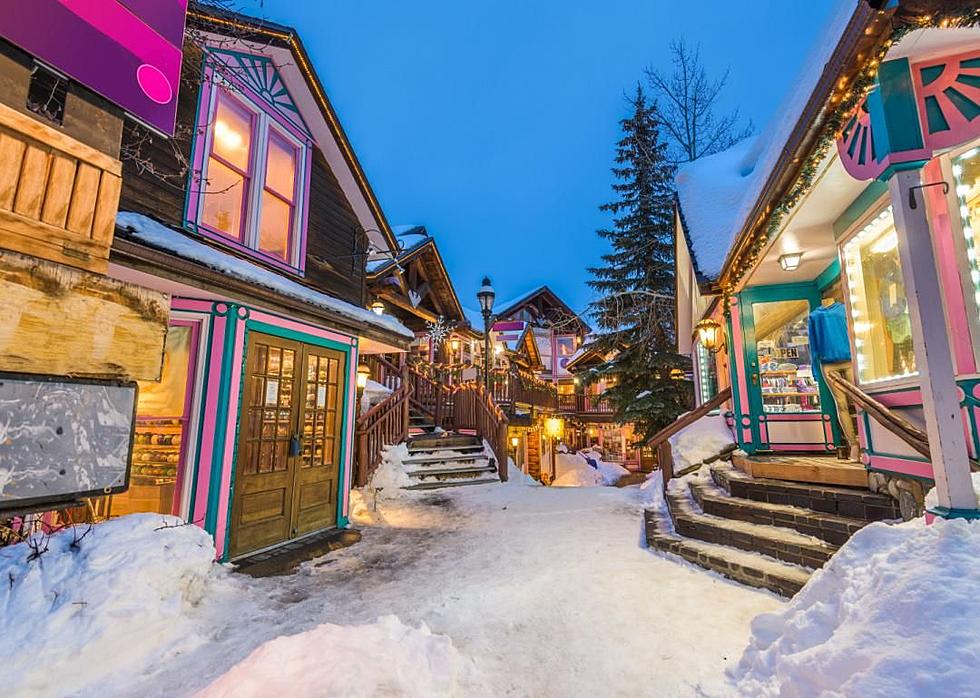
Need A Snow Fix? Here’s Where To Get It.
Snow is excepted in the higher elevations over the weekend.
You probably heard about the recent snowfall up on the Grand Mesa. The higher elevations have seen snow and more in on the way. Forecasters say the biggest snow amounts will be in the Berthoud Pass and Breckenridge areas. There's talk of several inches of measurable snow up top with some places receiving 6 inches or more through Tuesday evening.
Berthoud Pass, Colorado forecast...
Saturday-A 50 percent chance of snow showers. Some thunder is also possible. Partly sunny, with a high near 36. New snow accumulation of less than a half inch possible.
Saturday Night-A 50 percent chance of snow showers. Some thunder is also possible. Cloudy, then gradually becoming partly cloudy, with a low around 28. New snow accumulation of less than one inch possible.
More From 95 Rock